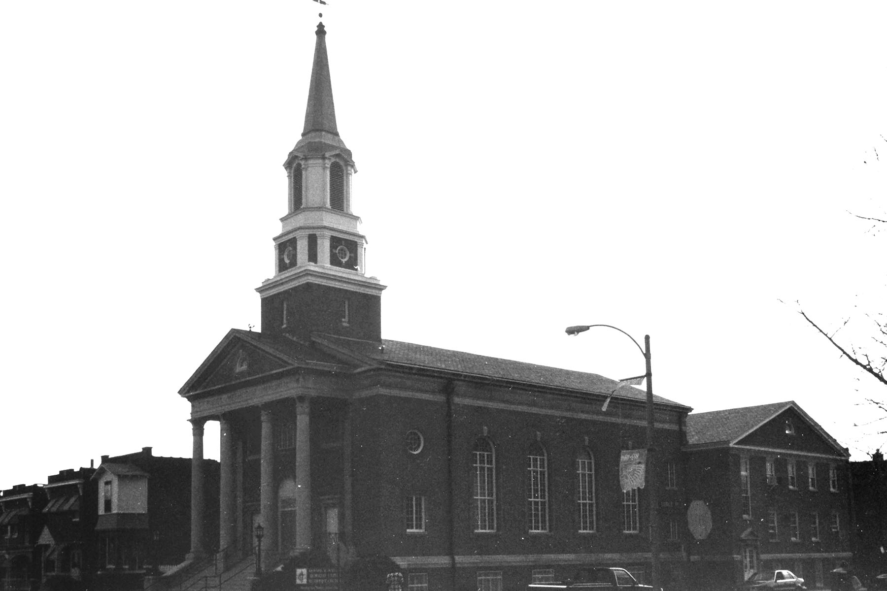
Scruggs Memorial United Methodist Church
Genealogical DataThe following records and indexes from this congregation are available: Baptisms in 1919 and 1920 Please note: Baptisms from 1921 through 1931 are missing. Marriages from 1918 to 1977 (missing 1951 and 1952) Please note: Marriage records end in 1977. Deaths from 1938 to 1975 (missing 1944 through 1950) StLGS is following state guidelines for privacy wherever possible. Births/baptisms online must be at least one hundred years old; marriages forty-five years old; and deaths fifty years old. Additional data from these records is available; please come to the StLGS office to view it. As privacy limits permit, society volunteers will post additional data online. HistoryEstablished in 1877 In 1872, a Methodist Sunday school began at 3700 Page Avenue. As the number of students grew, a Methodist society began and in 1877, this new congregation began construction of a church on the southeast corner of Cook and Spring Avenues. Richard M. Scruggs, the department store magnate, had been superintendent of the school, and financed the new building. It was officially named the Cook Avenue Methodist Episcopal Church when it was opened in 1885. The church was renamed after Mr. Scruggs in 1907, becoming the Richard M. Scruggs Memorial Episcopal Church, South. In 1925, the Cook Avenue church was sold to the African Methodist Church. They continue to worship in this building, now calling themselves the Scruggs Memorial Christian Methodist Episcopal (CME) Church. The small original congregation combined with the Grand Avenue Methodist Church as the Scruggs Memorial United Methodist Church and moved to 3446 Grace Avenue. For a time, the congregation merged with Murchison, but after a few years, they resumed worshiping at the Cook Avenue location and are active once again. |
|
|
Location 1885–1906: 3680 Cook Avenue, St. Louis, Missouri 63113 as Cook Avenue Methodist Episcopal Church GPS (Latitude, Longitude): 38.6458341, -90.2329064 View Map Location 1906–1925: 3680 Cook Avenue, St. Louis, Missouri 63113 as Scruggs Memorial Methodist Episcopal Church GPS (Latitude, Longitude): 38.6458341, -90.2329064 View Map Location 1925–1929: 3680 Cook Avenue, St. Louis, Missouri 63113 as Scruggs Memorial United Methodist Church GPS (Latitude, Longitude): 38.6458341, -90.2329064 View Map Location 1929–1998: 3443 Grace Avenue, (now 3646 Fairview Avenue) St. Louis, Missouri 63116 as Scruggs Memorial United Methodist Church GPS (Latitude, Longitude): 38.5950358, -90.246144 View Map |
|

Last Modified:
24-Aug-2025 13:08