Pitzman’s 1878 Atlas Georeferenced
Pitzman’s New Atlas of the City and County of Saint Louis, Missouri, provides the names of property owners in the city and county of St. Louis in 1878. This digital version shows each atlas page in a Google Maps interface and displays the names of property owners with the types of buildings on their property. When you search for the name of a property owner in our database, you will be able to go directly to the location of the property. Scroll below the atlas cover for links to the atlas pages.
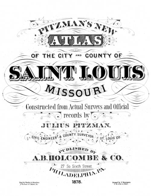
The atlas provides the names of the property owners in the city and county of St. Louis in 1878. The 2024 version shows each georeferenced atlas page in a Google Maps interface and displays the owner names with building types. The owner names are also indexed by location, so that when an owner name is searched on the website, the user will be able to go directly to the location of property.
The starter page to the interfaces for the atlas pages is at Pitzman’s 1878 Atlas Pages
The clickable index page of the atlas is at Pitzman’s 1878 Index Page.
The atlas page images were downloaded from The State Historical Society of Missouri ![]()
Pitzman’s New Atlas of the City and County of Saint Louis, Missouri, 1878, Published by A.B. Holcombe & Co., Philadelphia, PA, 1878., provided by The State Historical Society of Missouri, Plat Map Collection, Public Domain
This atlas and index are available as a CD-ROM from StLGS CD Products.