Pitzman’s 1878 Atlas Index Page
This picture is image mapped. Clicking on each image will bring up the appropriate georeferenced area from Pitzman’s Atlas.
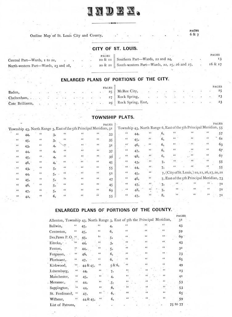
The atlas provides the names of the property owners in the city and county of St. Louis in 1878. The 2024 version shows each georeferenced atlas page in a Google Maps interface and displays the owner names with building types. The owner names are also indexed by location, so that when an owner name is searched on the website, the user will be able to go directly to the location of property.
The StLGS Surnames Index for this Atlas is at Pitzman’s 1878 Surnames Index
The starter page to the interfaces for the atlas pages is at Pitzman’s 1878 Atlas Pages
The atlas page images were downloaded from The State Historical Society of Missouri ![]()