Christ the King UCC
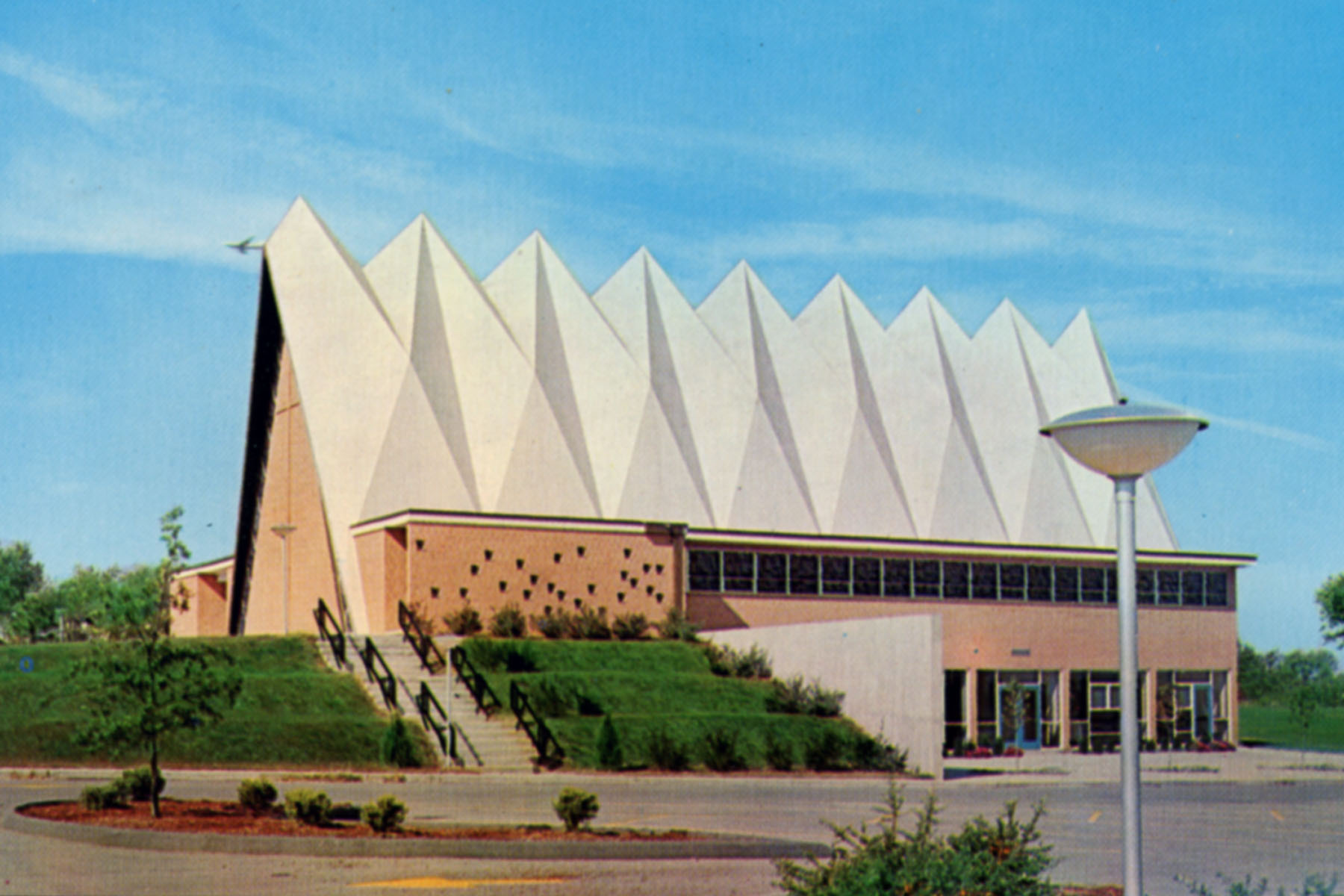
Genealogical DataThe following indexes from this congregation are available: Confirmations from 1912 to 1938 These are indexes only. As of 2024, we do not have this congregation’s permission to publish actual images online. However, this may change in the future. StLGS is following state guidelines for privacy wherever possible. Births/baptisms online must be at least one hundred years old; confirmations eighty-six years old; marriages forty-five years old; and deaths fifty years old. Additional indexed data from these records may be available; please come to the StLGS office to view it. As privacy limits permit, society volunteers will post additional data online. HistoryEstablished 1856; still active in 2024 In 1856, a group from Holy Ghost Evangelical Church, led by their pastor, Rev. Picker, organized the Independent German Evangelical Protestant Congregation at 8th Street and Mound Avenue. They sold the site to the North St. Louis Christian Church in 1869 and moved again. During this time, they became known as the Independent Evangelical Protestant Church. In 1917, they moved again within St. Louis. By this time, they were also called the Independent Evangelical Congregational Church. In 1957, their official name became the Congregational United Church of Christ. In 1959 and 1960, the congregation held services in the Paul Revere Temple before relocating once again, this time to their present location in north St. Louis County, in 1960. In 1998, they assumed their current name. Address: 11370 Old Halls Ferry Road, Florissant, Missouri 63033 Telephone No.: 314-741-6808 |
|
|
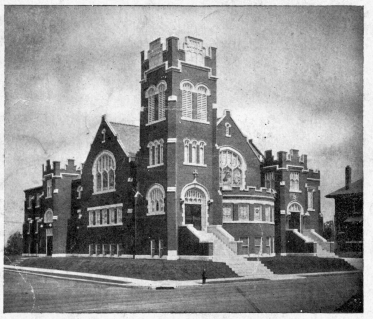
Website: www.ctk-ucc.org Location 1856–1869: 8th and Mound Streets, St. Louis, Missouri GPS (Latitude, Longitude): 38.6431598,-90.1874746 View Map Location 1869–1917: 13th and Tyler St (was Webster) Street, St. Louis, Missouri GPS (Latitude, Longitude): 38.6431598,-90.1874746 View Map Location 1917–1960: 4001 Fair Avenue, St. Louis, Missouri GPS (Latitude, Longitude): 38.669068,-90.2295507 View Map Location 1960–Present: 11370 Old Halls Ferry Road, Florissant, Missouri 63033 GPS (Latitude, Longitude): 38.780188,-90.2677917 View Map Location 1959–1960: Theobald St & Newby St (Paul Revere Temple) GPS (Latitude, Longitude): 38.7172143,-90.2356814 View Map |
|
Many of the members of this congregation were buried at the New Pickers Cemetery (also known as Gatewood Gardens) as well as the Old Pickers Cemetery.
For more information on New Pickers cemetery, click here.
For more information on Old Pickers cemetery, click here.
Last modified: 09-Jun-2025 09:21