St. John’s United Methodist Church
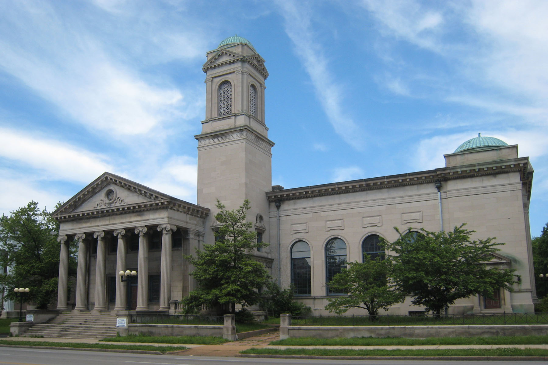
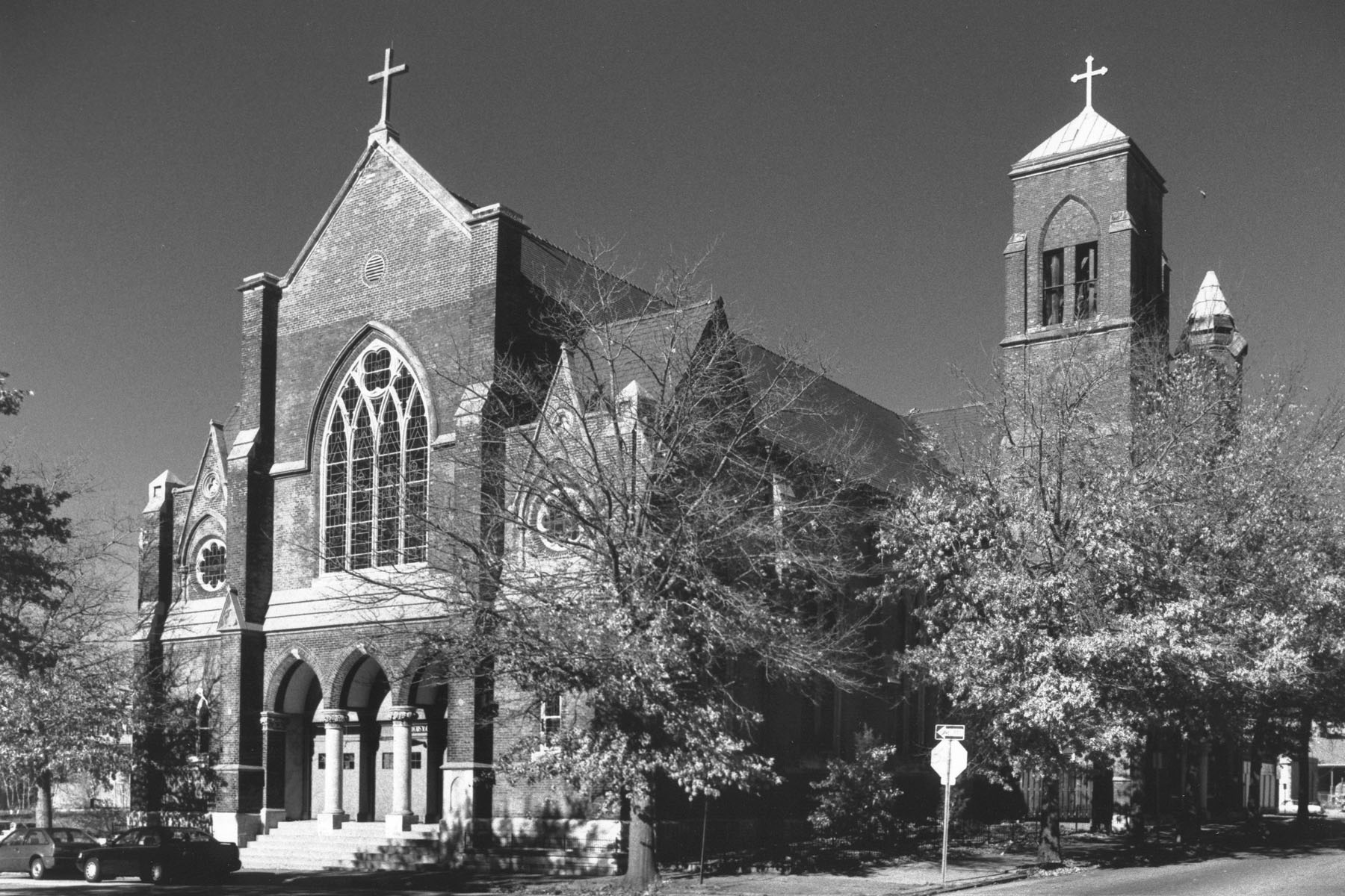
Genealogical DataThe following indexes and records from this congregation are available: Marriages from 1868 to 1960 Please note: Marriage records end in 1960. StLGS is following state guidelines for privacy wherever possible. Births/baptisms online must be at least one hundred years old and marriages forty-five years old. Additional indexed data from these records is available; please come to the StLGS office to view it. As privacy limits permit, society volunteers will post additional data online. HistoryEstablished in 1848 The Asbury Methodist Chapel was established circa 1848 at the corner of 19th and Gay Streets in St. Louis. A Sunday school arose from this congregation in 1864, and it was from that group of worshipers that St. John’s church began. When the chapel was sold in that same year, about seventy-five people organized and decided to build a new church in a different location. Work on the structure, at 2901 Locust Street, began in 1867, and the church was dedicated in 1869. Called St. John’s Methodist Episcopal Church, South, the new building made quite an impression on a local writer who called it “one of the largest, wealthiest, and most influential churches in the city.” That same writer said the church cost $90,000 to build. As the population in the City of St. Louis moved westward, the church needed to follow its parishioners. They bought property at 5000 Washington Place, a location that came to be called “The Holy Corners” because of the beautiful houses of worship that located there, and, in 1902, they sold their original property and moved to their new home. The Locust Street church, purchased by the Catholic Archdiocese, became St. Charles Borromeo Catholic Church. The Italian Renaissance building on Washington became home to the newly renamed St. John’s United Methodist Church. They remained open until 2007, and the building is now the home of an antiques auction house. |
|
|
Location c. 1848–1869: 19th and Gay Streets, St. Louis 63106 (This intersection no longer exists. Gay Street currently goes only from Tucker to North 14th Street, one block south of Dr. Martin Luther King Dr. The map shows an approximate location.) GPS (Latitude, Longitude): 38.635907, -90.2068769 View Map Location 1869–1902: 2901 Locust Street, St. Louis, Missouri 63103 GPS (Latitude, Longitude): 38.63538, -90.2220276 View Map Location 1902–2007: 5000 Washington Place, St. Louis, Missouri 63108 GPS (Latitude, Longitude): 38.6501471, -90.2664669 View Map |
|
Last Modified:
18-Oct-2025 17:35

