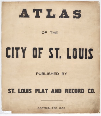
St. Louis City Atlas, 1905
The Atlas of the City of St. Louis was published by the St. Louis Plat and Record Co. in 1905. It is an eight-volume set with index and was digitized by the Missouri Historical Society. The pages provide the names of the streets, the landowners, lot sizes, and other features for the city of St. Louis in 1905. Scroll below the atlas cover for links to each of the eight volumes and a map of the city with links to specific pages in the atlas.
St. Louis City Atlas, 1905 Map is a Google Maps interface that displays a blue dot for the center point of each plat page and links to the actual page on the Missouri Historical Society website.
References:
The data is provided by the Missouri Historical Society and is in the public domain.
Links to the index and volumes are below.
| Index | Volume 1 | Volume 2 | Volume 3 | Volume 4 | Volume 5 | Volume 6 | Volume 7 | Volume 8 |