Notre Dame Cemetery (N12)
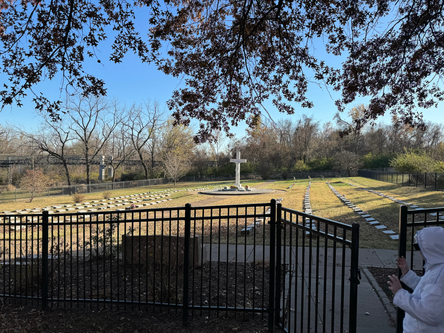 Photo taken by Jim Bellenger |
320 East Ripa Road St. Louis, MO |
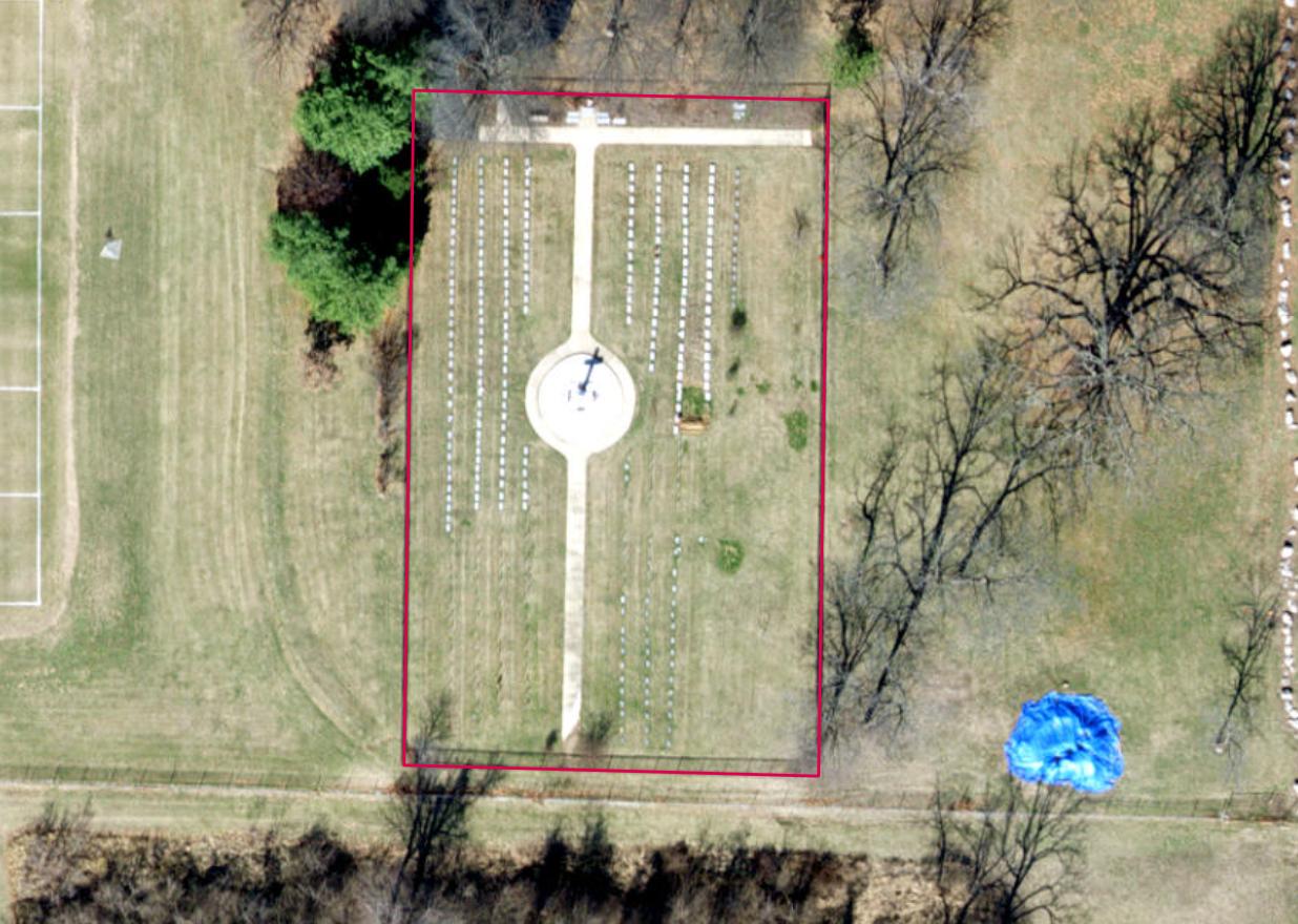 Click on this image to see the cemetery boundary georeferenced in a Google Maps interface. Image courtesy of the year 2018 ArcGIS layer from St. Louis County GIS Center |
Notre Dame Cemetery is located at 320 East Ripa Road near Broadway and Kingston in Lemay. Notre Dame served as a school for nuns. It was also a mother house, providing a home for retired nuns in their later years. Some of these nuns were buried at the Notre Dame Cemetery and are listed here. Others were buried at Resurrection Cemetery and are included in that listing. In later years, some of the nuns nuns donated their bodies to science, and those entries here have the code “SC” in the record.
GPS Coordinates: Latitude: 38.5234326 Longitude: -90.2719814 Click here for a Google map.
Source of Data for this Cemetery
Records for this cemetery were provided to StLGS by the church.
Cemetery Specific Data Notes
None.
Additional Resources
None.
Last modified: 11-Feb-2025 14:16