B’rith Sholom Kneseth Israel
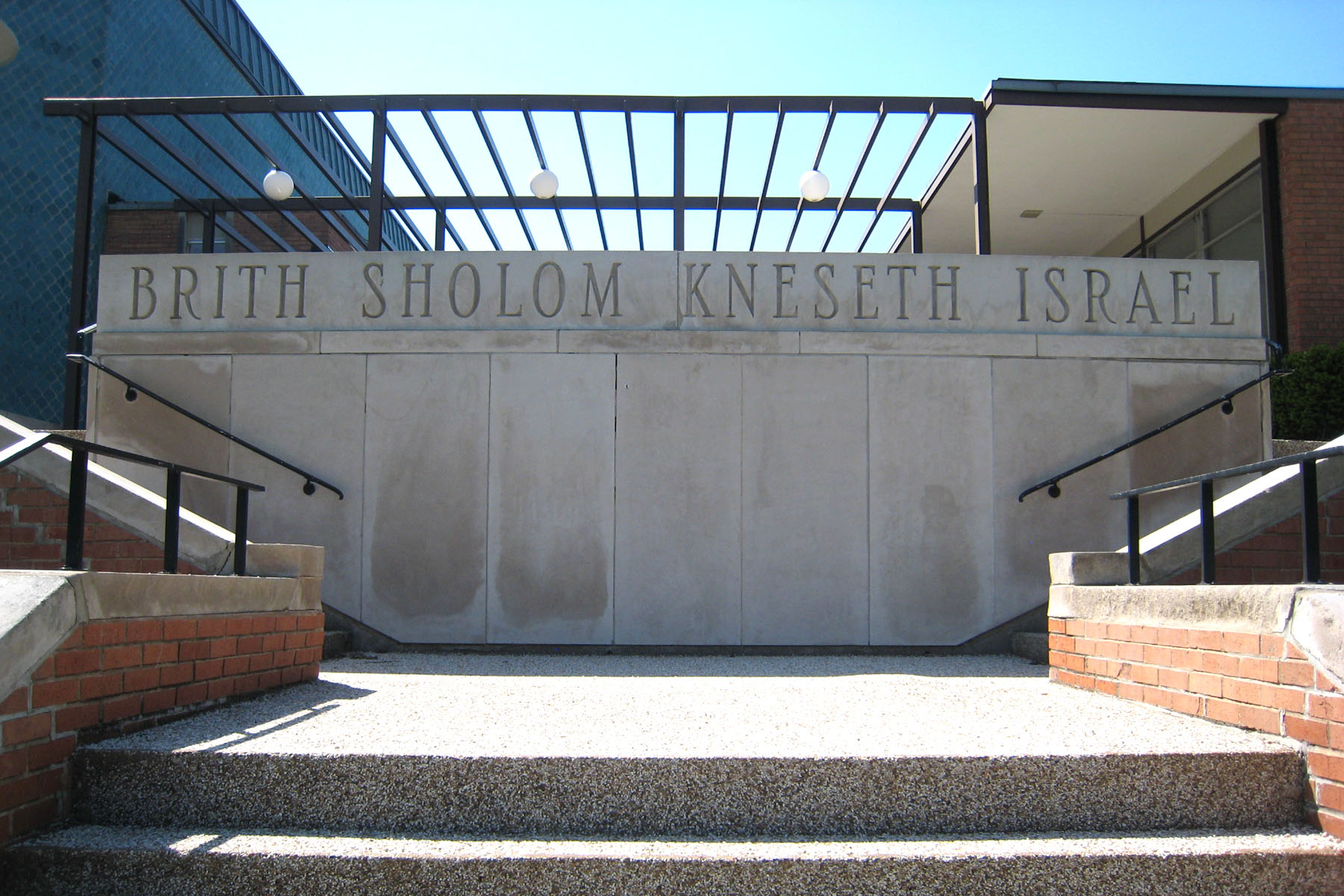
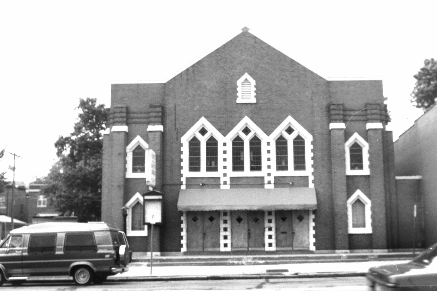
Genealogical DataThe following index and records from this congregation are available: StLGS is following state guidelines for privacy wherever possible. Marriages must be at least forty-five years old to be posted online. Additional indexed data from these records is available; please come to the StLGS office to view it. As privacy limits permit, society volunteers will post additional data online. HistoryEstablished in 1908; still active in 2025 This congregation began in the fall of 1908 as B’rith Sholom (Covenant of Peace), an Orthodox group for Austrian-Hungarian Jews. They rented Smith’s Hall at 14th and Carr Streets in the spring of 1909 and limited their membership to Austrian-Hungarian families only. (Later this would change to welcoming all Orthodox worshipers.) In 1923, they purchased the former United Hebrew Temple at Kingshighway and Enright and moved the congregation westward, as other Jewish groups were doing. Their stay at this location was short-lived and in 1928, they purchased a building at 6166 Delmar, just east of the Loop. In 1937, they incorporated the B’rith Sholom Cemetery Association, purchasing land on Olive Street Road, just east of Hanley in University City. A turning point for this congregation came in 1960. They had just finished building a synagogue in Richmond Heights when they decided to merge with the much smaller and younger Kneseth Israel congregation, bringing about a hundred new families into the merger. The move also marked a change in focus, as the Orthodox congregation switched to being Conservative. The new congregation, now called B’rith Sholom Kneseth Israel, soon was known as BSKI. As their building aged, however, change was coming once more, and, in 2013, BSKI merged again, this time with Temple Shaare Zedek, and took an entirely new name: Kol Rinah. The merged congregation continues as a Conservative group. |
|
|
Address: 829 N. Hanley Road, St. Louis, Missouri 63130 Telephone: 314-727-1747 Website: http://www.sestl.org/ Location 1909–1923: 14th and Carr, St. Louis, Missouri 63106 Location 1923–1928: Kingshighway and Enright, St. Louis, Missouri 63108 Location 1928–1960: 6166 Delmar Boulevard, St. Louis, Missouri 63112 Location 1960–2013 (as BSKI): 1107 East Linden Avenue, St. Louis, Missouri 63117 Location 2013–Present (as Kol Rinah): 829 N. Hanley Road, St. Louis, Missouri 63130 |
|
Chevra Kadisha Ohave Sholom Cemetery
Located at 7400 Olive Street Road in St. Louis. For access to the Chevra Kadisha Ohave Sholom cemetery, click here.
Last Modified:
09-Sep-2025 10:05